Blog posts tagged skyterrace
Presenting the SkyTerrace Interactive Map at NACIS 2022

The good news is that, when the airport and the museum began to resume on-site operations in earnest, the application I’d developed had been running unattended and attached to a big honking monitor for 18 months and everything still worked. The bad news was that no one wanted to touch any kind of public surface anymore.
This is a blog post by aaron cope. It was published on October 28, 2022 and tagged skyterrace, nacis, maps and ios.
Serving map tiles to yourself using Protomaps and iOS

Aside from solving an immediate technical problem we are excited about how this approach might be applied to future projects and we hope you will be too.
This is a blog post by aaron cope. It was published on March 30, 2022 and tagged swift, ios, maps, protomaps, openstreemaps and skyterrace.
Interactive maps of SFO from 1930 to 2021 (and beyond) at the T2 SkyTerrace
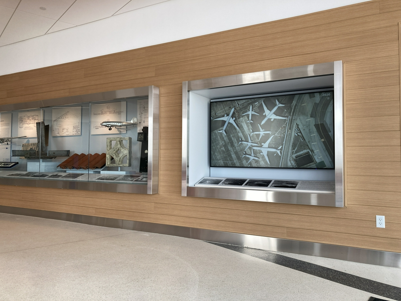
The recently opened Mills Field and the San Francisco Airport exhibition in the SkyTerrace observation deck in Terminal 2 includes an interactive map installation that allows visitors to view the history of SFO by browsing over three dozen aerial maps from 1930 to 2021. Orginally designed as a touch-based interactive application, designed to work entirely offline, it was updated earlier this year to allow visitors to control the map using their personal mobile devices.
This is a blog post by aaron cope. It was published on November 19, 2021 and tagged maps and skyterrace.