Interactive maps of SFO from 1930 to 2021 (and beyond) at the T2 SkyTerrace
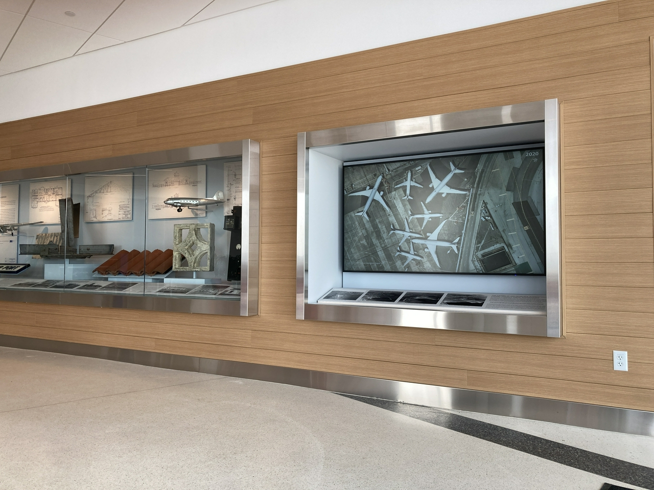
The recently opened Mills Field and the San Francisco Airport exhibition in the SkyTerrace observation deck in Terminal 2 includes an interactive map installation that allows visitors to view the history of SFO by browsing over three dozen aerial maps from 1930 to 2021. Orginally designed as a touch-based interactive application, designed to work entirely offline, it was updated earlier this year to allow visitors to control the map using their personal mobile devices.
This is a blog post by aaron cope. It was published on November 19, 2021 and tagged maps and skyterrace.