Blog posts tagged flickr
Updating (and reverse-geocoding) GPS EXIF metadata
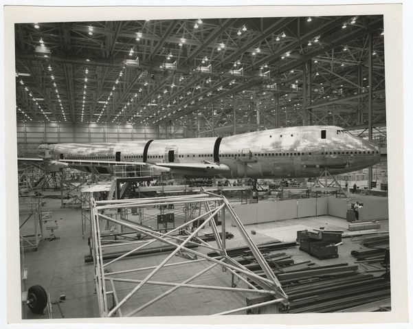
When I save an image of this view of the runways at SFO, from 2017, the newly created image’s EXIF data contains not only the date and the permanent URL for the map but also the latitude and longitude coordinates for the map’s center point.
This is a blog post by aaron cope. It was published on April 26, 2021 and tagged golang, exif, javascript, wasm, flickr, reverse-geocoding and webassembly.
Surface Areas – Photos and Depictions on the Mills Field Website
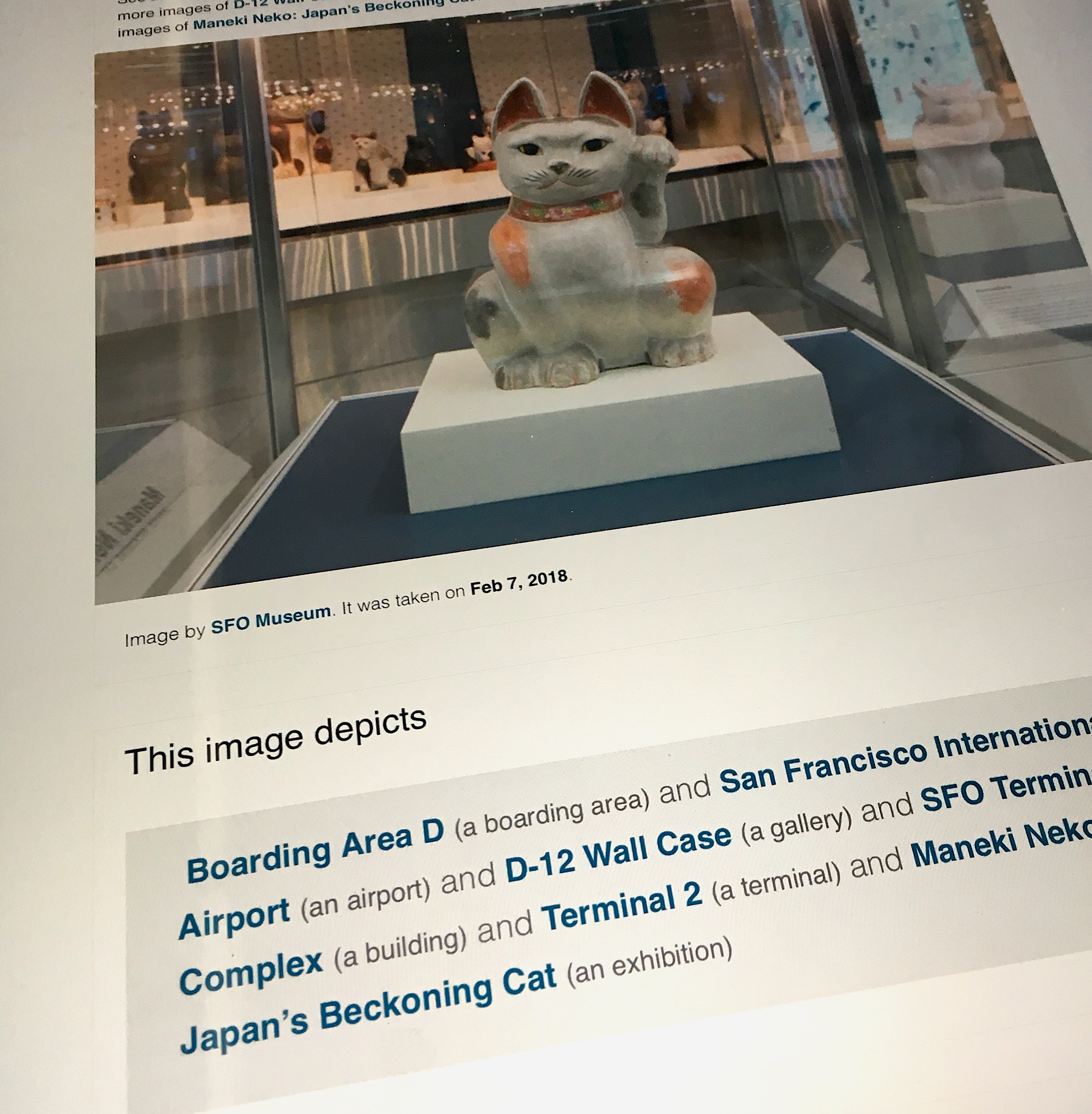
Starting today there are pictures on the Mills Field website! Not all the images but approximately 1,500 photographs of exhibitions on display in the terminals and another 1,500 photos of airports and aircraft related to the SFO Museum collection, taken by Flickr users (and published under a Creative Commons license) … As I write this there are another 30 years worth of exhibition photos to process and another 100,000 Flickr photos to review so this is just the beginning but we’re excited to finally share the work we’ve already done so far.
This is a blog post by aaron cope. It was published on January 02, 2019 and tagged flickr, sfo, whosonfirst and airplanes.