
loading image

This photo taken right before the opening of the International Terminal in 2000. Sharp eyes will notice that the International Parking garages are still under construction, as is the BART connector. Also visible is a tiny sliver of the Old Bayshore Highway, running through the southwestern corner of the 1L and 1R runways. What else do you see? Image: San Francisco International Airport (SFO), aerial view, 1999. Transfer from City and County of San Francisco. 2007.046.002
This image was posted on August 03, 2017.
Similar Instagram posts
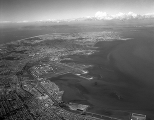
There was beautiful weather #onthisday in 1966!
This image was posted on March 23, 2023.
#throwbackthursday #sfohistory #avgeek
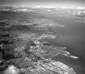
There's a lot to see in this photo from 1967!
This image was posted on May 05, 2017.
#sfohistory #aviationhistory #avgeek #sfoat90 #sfhistory
#notadrone #aerialphotography
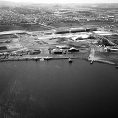
This image was posted on December 03, 2015.
#throwbackthursday
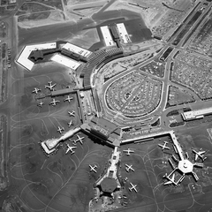
On September 15, 1963, the South Terminal (now Terminal 1) was dedicated at San Francisco International Airport.
This image was posted on September 16, 2018.
#onthisday #sfohistory #throwbackthursday #avgeek #aviationgeek #aviation #aviationhistory #aviationlovers #vintageaviation #history #aviationgeeks #avgeeks #airport
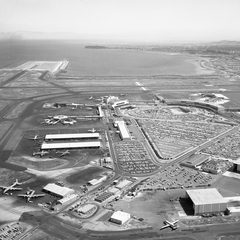
This is a rare aerial view of SFO and surrounding buildings from 1963.
This image was posted on October 13, 2016.
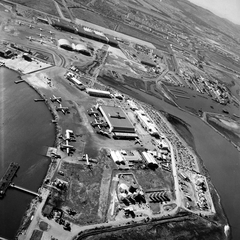
During World War II, Pan American Airways moved their flying boat operations from Treasure Island to SFO's seaplane harbor.
This image was posted on January 12, 2017.
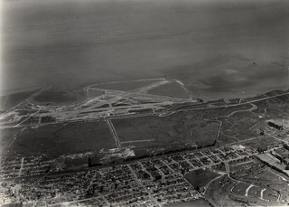
What did the Airport look like #onthisday in 1940?
This image was posted on May 12, 2023.
#sfohistory #avgeek