loading image

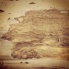
Wonder what's happening behind the scenes at SFO Museum? Want to know more about the history of the airport? Check out our new blog! http://bit.ly/SFOMBlog Image: San Francisco Bay Area map, airfields, c. 1927. SFO Museum Collection. 2000.018.059
This image was posted on August 31, 2018.
Similar Instagram posts
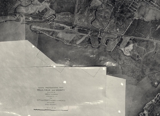
If you were flying high above the airport in 1930, this would have been your view.
This image was posted on August 19, 2021.
#nationalaviationday #throwbackthursday #tbt #sfohistory
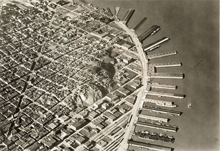
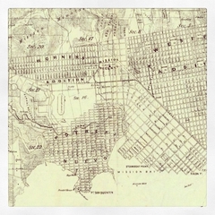
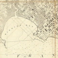
Do you recognize the long diagonal street cutting across this photo?
This image was posted on April 14, 2020.
#triviatuesday #sanfrancisco #museumfromhome
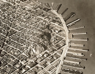
Stanley Henry Page was San Francisco Bay Area engineer who was inspired by the new technologies of flight.
This image was posted on January 17, 2020.
#stanleyhenrypage #avgeek #aviationgeek #aviation #aviationhistory #aerialphotography #sfhistory
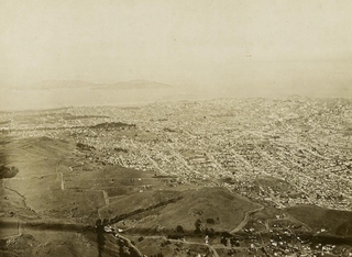
Stanley H. Page, a mechanical engineer, early aviator, and photographer, took aerial black-and-white photographs of San Francisco in the 1920s.
This image was posted on March 18, 2016.
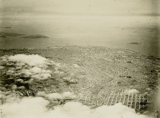
San Francisco and the Bay from a plane has always been a beautiful view.
This image was posted on April 27, 2021.
#sanfrancisco #sfhistory #aerialphotography #windowview
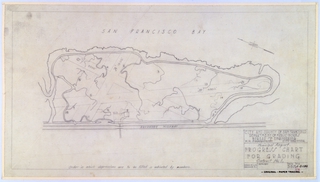
This pencil-drawn site plan was produced by the City and County of San Francisco’s Department of Public Works, for the Mills Field Municipal Airport of San Francisco, titled “Progress Chart for Grading / Contract No.
This image was posted on January 09, 2023.
#52objects #sfohistory #sfhistory #millsfield #airport