Mapping America See all the exhibitions.
This nonaviation exhibition was on display between April 2003 and March 2004 in the D-05 Central South Connector gallery, located in Terminal 2
Here are three random images of Mapping America. There are 55 images of this exhibition. Jump to random image.
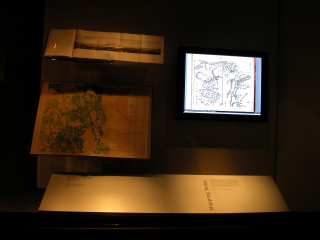
Installation view of "Mapping America"
.
Image by SFO Museum. It was taken on May 27, 2003.
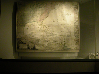
Installation view of "Mapping America"
.
Image by SFO Museum. It was taken on Mar 19, 2004.
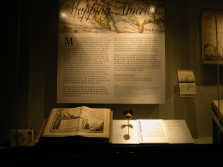
Installation view of "Mapping America"
.
Image by SFO Museum. It was taken on May 27, 2003.
America first appeared on world maps in the early sixteenth century, but it was not until the explorations of Marquette and Joliet, Lewis and Clark, and Zebulon Pike that accurate maps could be drawn. This exhibition is from a private collection of maps and atlases, some so early that continental boundaries could only be imagined.